The Port of San Francisco and the U.S. Army Corps of Engineers released a Recommended Plan for 7.5 miles of shoreline in August 2026. It covers Aquatic Park to Heron's Head Park and prices the work at 17.8 billion dollars in 2026 dollars. Congress may pay up to 65 percent of the construction cost if it authorizes the plan.
The highlights document names no property. The word hotel appears zero times in it. It allocates measures to shoreline, seawall, wharves, piers, bulkhead buildings, roadways and bridge ends, and it assigns no room count, no address and no site.
Thirteen actions sit in five categories. The plan raises the shoreline to defend against 1.5 to 3.5 feet of sea level rise and stabilizes it with ground improvements. It builds closure structures on the bridges, tied into the existing bridge projects. It elevates historic buildings, naming the Ferry Building and the bulkhead buildings. It replaces existing wharves with seismically resilient elevated wharves. It floodproofs select Fisherman's Wharf buildings and builds 2-foot walls around pier perimeters. The remainder is nature-based: living seawalls, coarse beaches, rocky intertidal habitat, vegetated berms and levees, wetland preservation, stormwater adaptation and green infrastructure.
Each action attaches to a structure.
The three stretches that get design work first
KQED reported in August 2026 that the port will concentrate design on three areas to reach the federal threshold: Fisherman's Wharf, the Embarcadero between Harrison and Townsend streets, and downtown between Broadway and Harrison streets.
The highlights document names three projects on that ground. Fisherman's Wharf Forward is marked as outside the flood study. The Downtown Coastal Resilience Project is included, and it covers the Ferry Building area south to the Bay Bridge. The South Beach Coastal Resilience Project replaces the seawall and wharves along a half-mile stretch of The Embarcadero between Harrison and Townsend Streets, with structures described as earthquake-stable, raised for sea level rise and adaptable to more.
Property types that gain from a raised shoreline
Three types gain on the plan's own reasoning. Buildings set back from the water's edge sit behind the defense. Upper floors gain, because ground-level exposure is what the measures address. Properties whose access depends on the Embarcadero roadway gain, because the plan treats that road as a thoroughfare for emergency supplies, staff and services and defends it as a priority.
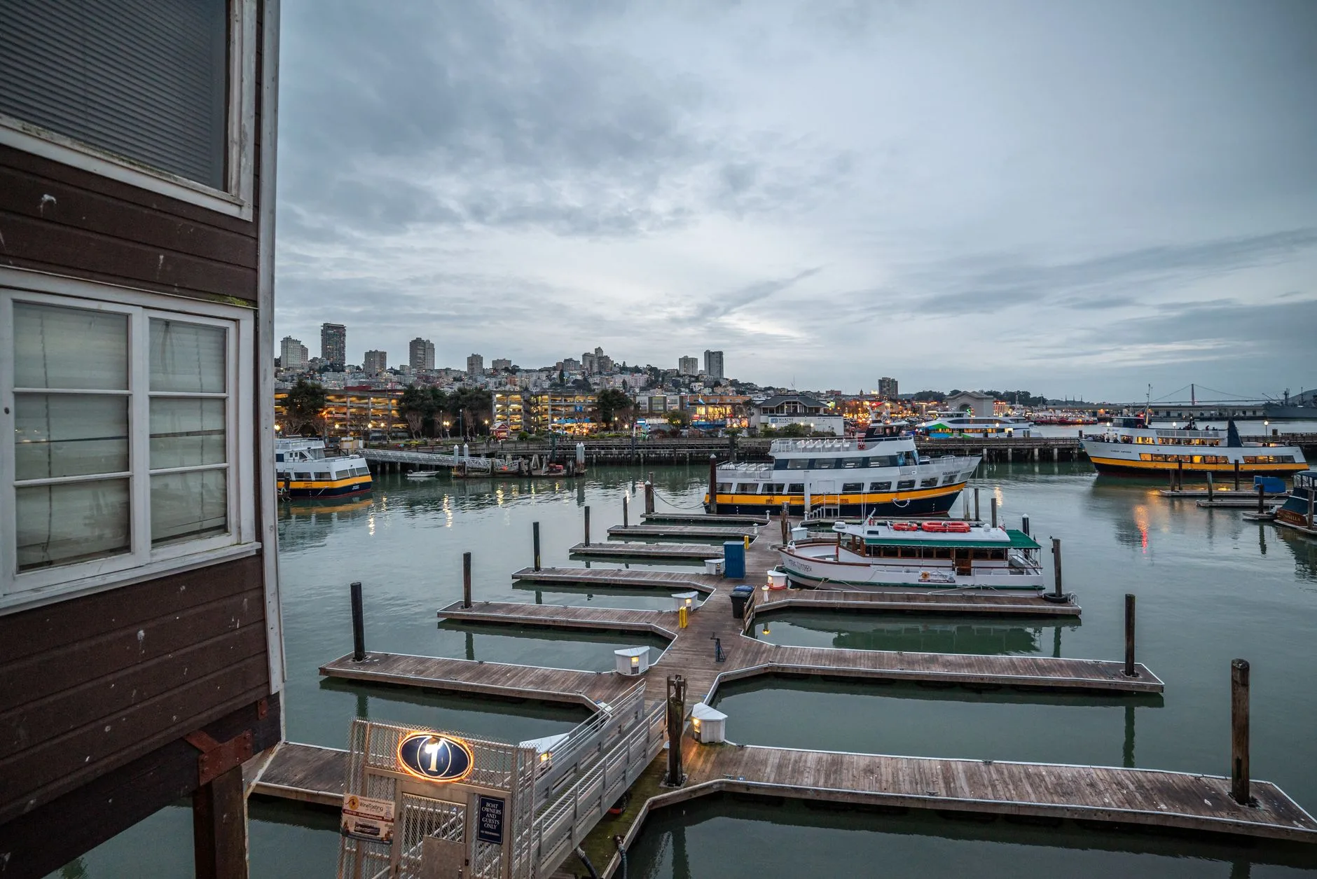
Fisherman's Wharf is a separate case. The plan places it on higher, more protected ground and takes floodproofing and short floodwalls there. It gives the reason: that approach minimizes disruption from construction, especially to public transit and businesses, until higher flood risks are evident.
The document also states that it preserves nearly 80 cultural and community assets.
Property types that trade through the works
Shoreline-edge ground floors and pier-based venues carry the trading risk. The plan builds 2-foot walls around pier perimeters and replaces wharves. A tenant whose entrance, terrace or service door sits inside a pier perimeter trades beside a construction site for the length of a phase the plan does not sequence.
The Harrison-to-Townsend half-mile carries the heaviest concentration, because the seawall and the wharves are both replaced there.
Access through bridge-end closures is a third exposure. Closure structures defend the surrounding neighborhoods against flooding entering across the Third and Fourth Street bridges in South Beach, and across the Illinois Street Bridge in Islais Creek. The plan calls them highly infrequent, and for the Illinois Street crossing it expects operation less than once a year.
The Embarcadero roadway is a fourth. The plan states that the dense concentration of city-serving and regional infrastructure, including critical disaster response assets, makes incremental phasing harder there.
The hotels nearest the first stretch
OpenStreetMap points put four hotels inside 350 meters of the Ferry Building: 1 Hotel San Francisco at 208 meters, Hyatt Regency San Francisco at 243, Hotel Griffon at 317 and Harbor Court at 340. Hotel VIA sits 1,816 meters from the Ferry Building and 1,324 from Rincon Park.
The wharf district hotels sit further out. Hotel Zoe is 2,169 meters from the Ferry Building, Hyatt Centric 2,299, Marriott Fisherman's Wharf 2,369, Hotel Caza 2,454 and the Argonaut 2,685.
Those figures measure proximity to the first stretch. They carry no allocation.
What a property file can hold today
Four dates exist. The Federal Register notice of availability ran on 31 July 2026 and covered the final integrated feasibility report and environmental impact statement, with a review period closing 31 August 2026. The highlights document is dated August 2026. Approval and funding sit in a 2026 to about 2030 band. Preconstruction engineering and design follows, then phased construction, with every date marked approximate and subject to change.
One contract is on the record. The Port Commission awarded program advisory services to Jacobs Engineering Group under Resolution 25-85, for a not-to-exceed amount of 40 million dollars and an initial term of five years, with an option to extend for up to five more years and add up to 40 million dollars. It is paid from general obligation bond proceeds and the Port Harbor Fund.
Section 2.6 of the plan lists what it does not decide: detailed designs for flood defenses, designs for waterfront streets, open spaces and infrastructure, timing and sequencing of construction, and the funding plan. A property file that records those four gaps is accurate.